

Greece will experience a temporary shift in weather over the coming days as strong northerly winds bring lower temperatures before heat returns by Sunday.
According to the Hellenic National Meteorological Service, known as EMY, the upcoming four-day period will feature two primary weather conditions: strong to gale-force northerly winds and a temporary dip in temperatures before mercury levels climb once more.
Heat will continue to persist across the country on Wednesday, August 26. Mainland temperatures are expected to reach between 36 and 38 degrees Celsius, with local areas in southern Greece climbing as high as 39 degrees Celsius. EMY forecasted generally clear skies for Wednesday, with brief atmospheric instability limited mainly to the mountainous regions of northern Greece.
The weather pattern will begin to change significantly on Thursday as winds shift to the north. Wind speeds will intensify to between 4 and 6 Beaufort, reaching up to 7 Beaufort locally over sea areas, while temperatures start to recede in the east.
Peak winds and fire risks
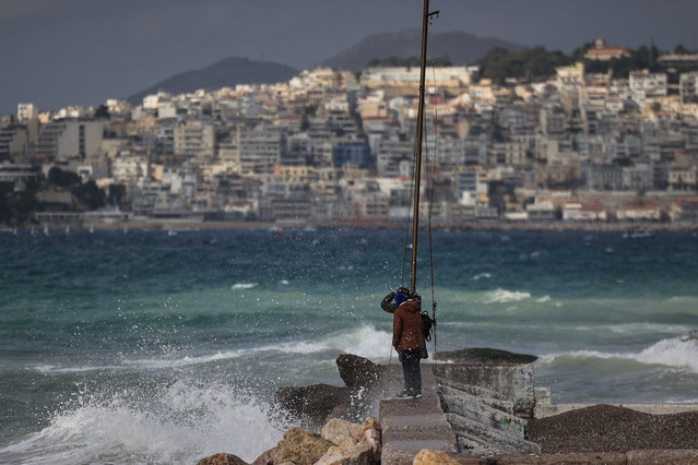
The intensification of the northerly winds is set to peak on Friday, August 28. Wind speeds across open sea areas will reach 7 Beaufort, with local gusts in southeastern waters rising to 8 Beaufort. On the Beaufort scale, force 8 indicates gale-force winds exceeding 60 kilometres per hour, creating dangerous maritime conditions.
Temperatures will see an additional slight drop across northern and eastern Greece on Friday, whereas western Greece will maintain higher temperature levels.
A similar picture will continue into Saturday, with strong northerlies ranging between 6 and 7 Beaufort and reaching up to 8 Beaufort locally in the southeast. While weather across Greece will remain predominantly clear on Saturday, local showers or isolated thunderstorms may occur in the northwestern mainland.
Meteorologists highlighted that the strengthening winds carry heightened significance regarding the threat of wildfires. Strong gusts combined with dry late-summer vegetation increase both the risk of fires igniting and the speed at which blazes can spread.
Return of heat by Sunday
The cooling trend across the country will be short-lived. A new gradual rise in temperatures is expected to begin on Sunday, with forecast models indicating that August will conclude with the return of intense heat.
Latest meteorological estimates confirm that the end-of-week cooling represents only a brief pause in high summer temperatures before hot weather re-establishes itself across the region.