


Hydrosat has unveiled Nyktos, a high-resolution infrared satellite programme intended to provide continuous day and night thermal surveillance for NATO governments and allied countries.
The Luxembourg-based space company announced that the system will use mid-wave infrared sensors to track the heat generated by military hardware, aircraft, and strategic facilities around the clock.
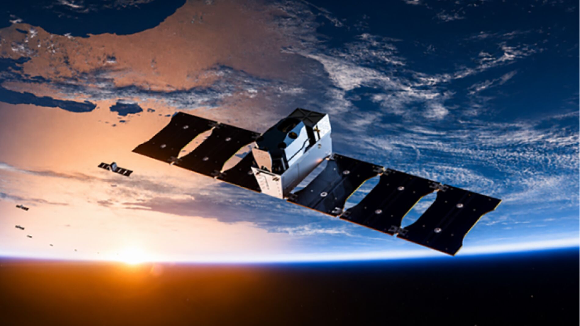
Hydrosat confirmed that the initiative will involve expanding its European manufacturing and technology footprint, while establishing a wider regional supplier network to build the spacecraft.
In a company statement, Hydrosat said the development of the new capability would be supported by its expanded European infrastructure and was specifically intended for sovereign mission applications for NATO members and allied partners.
However, the company did not disclose where its new factories will be built, how many satellites will make up the Nyktos constellation, when they will launch, or what spatial resolution their sensors will achieve.
Hydrosat also declined to identify any confirmed government buyers, despite positioning the platform directly for Western defence ministries seeking stronger intelligence capabilities.
Tracking thermal signatures in darkness
Darkness has long served as a shield for armies seeking to hide troop deployments, supply convoys, and weapon movements from orbital surveillance.
Standard optical satellites rely on visible light and lose much of their ability to capture clear images of the Earth once the sun sets.
Thermal sensors bypass that limitation because heat does not require daylight to be seen. Running diesel engines, recently landed aircraft, and working industrial sites all generate distinct thermal signatures that stand out against colder terrain.
While optical cameras register the sunlight reflecting off physical surfaces, thermal infrared instruments detect the electromagnetic radiation emitted directly by objects because of their temperature.
Nyktos relies on mid-wave infrared sensors, known in aerospace engineering as MWIR. These sensors operate across wavelengths between three and five micrometres, making them exceptionally sensitive to high-temperature sources such as vehicle engines, exhaust gases, smokestacks, and fires.
Security analysts can use these thermal contrasts to detect hidden vehicles, monitor runway activity, or spot sudden operational changes at fortified military bases.
The source article cautions, however, that a thermal image does not instantly reveal what kind of vehicle or structure is producing a signal. Interpreting the data accurately depends on the sensor resolution, atmospheric observation conditions, and detailed post-collection analysis.
Tipping and cueing with the Osiris constellation
Nyktos is not designed to operate alone in orbit. Hydrosat plans to link the satellites with Osiris, a separate constellation announced in September that uses long-wave infrared sensors, or LWIR.
Osiris is engineered for wide-area scanning rather than close inspection. Each Osiris satellite is designed to sweep across ground tracks up to 340 kilometres wide, capturing broad thermal maps with a native ground resolution of 25 metres.
The company plans to launch the first two Osiris satellites into orbit in 2027.
Working together, the two constellations will execute a surveillance method known in defence circles as tipping and cueing. In this operational model, Osiris acts as the tripwire, scanning vast geographical regions to detect anomalous temperature variations.
When Osiris detects an unusual heat signature that warrants attention, controllers will use that coordinate data to cue Nyktos toward the exact location. Nyktos will then point its high-resolution sensors to capture an intensive, detailed image of the target.
This pairing allows military and intelligence operators to shift seamlessly from wide panoramic monitoring to pinpoint observation without wasting high-resolution sensor time searching empty territory.
Expanding from agricultural roots to defence
Hydrosat already manages an active fleet of two thermal satellites, VanZyl-1 and VanZyl-2. Those spacecraft capture thermal imagery at a resolution of roughly 70 metres and have collected more than 500 million square kilometres of imagery across the globe.
The VanZyl satellites were named in honour of the late Jakob van Zyl, a pioneering South African electrical engineer and long-time NASA Jet Propulsion Laboratory scientist who served on Hydrosat's board.
Hydrosat initially focused its satellite operations on agricultural water use, measuring crop health and soil temperature to help farmers and governments track droughts. The Osiris and Nyktos programmes represent a major technological leap for the company, offering significantly sharper image detail and wider operational coverage.
Although Nyktos is marketed heavily toward defence clients, thermal Earth observation has widespread dual-use value for emergency services and private industry. The technology allows operators to detect temperature anomalies that signal developing forest fires, malfunctioning machinery, or energy pipeline failures before catastrophic damage occurs.
European sovereignty and space surveillance
The Nyktos project arrives during a broader push across Europe to build sovereign space capabilities. NATO, the 32-nation transatlantic defence alliance founded in 1949, has designated space as an operational domain alongside land, sea, air, and cyber defence.
European governments have grown increasingly eager to secure independent satellite constellations to monitor security threats across the continent, reducing their reliance on foreign military assets or single commercial providers.
Hydrosat is based in Luxembourg, a grand duchy that has established itself as a leading European hub for commercial space ventures. The country created the Luxembourg Space Agency in 2018 and has enacted dedicated legal frameworks to attract aerospace startups and private satellite operators.
The ultimate test for Hydrosat will be proving that Nyktos can deliver a sustained operational advantage in orbit. The company must demonstrate that its satellites can routinely monitor large areas, detect subtle thermal shifts, and revisit targets quickly enough to turn raw orbital heat into actionable intelligence.